

Revolutionizing Real Estate with Photogrammetry
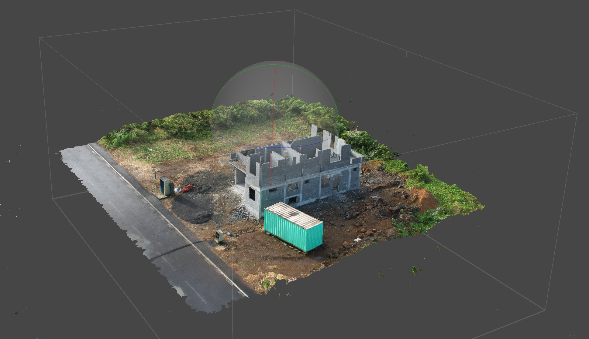
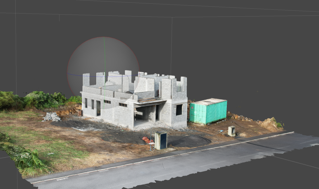
Photogrammetry for real estate is a revolutionary technology that combines drone imagery and advanced software algorithms to create highly detailed and accurate 3D models of properties. By capturing a series of aerial images from different angles, photogrammetry enables the reconstruction of a digital surface model, orthomosaic maps, and 3D representations. In Mauritius, this cutting-edge technique has transformed the way real estate professionals showcase properties and make informed decisions.
Real Estate Construction by Jordan Bienvenue on Sketchfab
Enhancing Visual Experiences and Sales Opportunities
The benefits of photogrammetry for real estate are numerous. Firstly, it offers a visually immersive experience for potential buyers or renters, allowing them to virtually explore a property from every angle. High-resolution drone photography and 3D models provide a realistic representation of the property’s layout, architecture, and surrounding environment. This level of detail aids in attracting and engaging prospective clients, increasing the chances of successful property transactions.

From Property Development to Marketing and Design
Photogrammetry for real estate is best suited for various fields of operation, including property development, real estate marketing, and architectural planning. Property developers can leverage photogrammetry to create accurate topographic maps and terrain models for site analysis and design purposes. Real estate marketers can utilize the stunning visuals produced by photogrammetry to create compelling advertising media that captivates potential buyers. Architects can benefit from precise measurements and 3D models to streamline their design process and communicate ideas effectively.
How Photogrammetry Reduces Costs and Drives Revenue in Real Estate
Clients stand to gain significant advantages by incorporating photogrammetry for real estate into their business strategies. Firstly, it offers a competitive edge in the market, as properties showcased with photogrammetry tend to attract more attention and generate greater interest. Additionally, it enhances decision-making by providing accurate measurements, detailed models, and the ability to virtually explore the property before making physical visits. By reducing the need for physical site visits, photogrammetry can also help businesses reduce costs associated with travel and accelerate the sales or rental process, ultimately leading to increased revenue.
Incorporating photogrammetry for real estate in your business is a game-changer. It revolutionizes the way properties are presented, enhances marketing efforts, and streamlines decision-making processes. By leveraging the power of drone technology, high-quality mapping, and immersive 3D models, you can gain a competitive advantage in the real estate industry in Mauritius and unlock new opportunities for success.